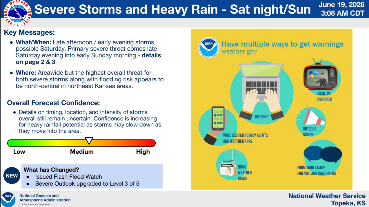
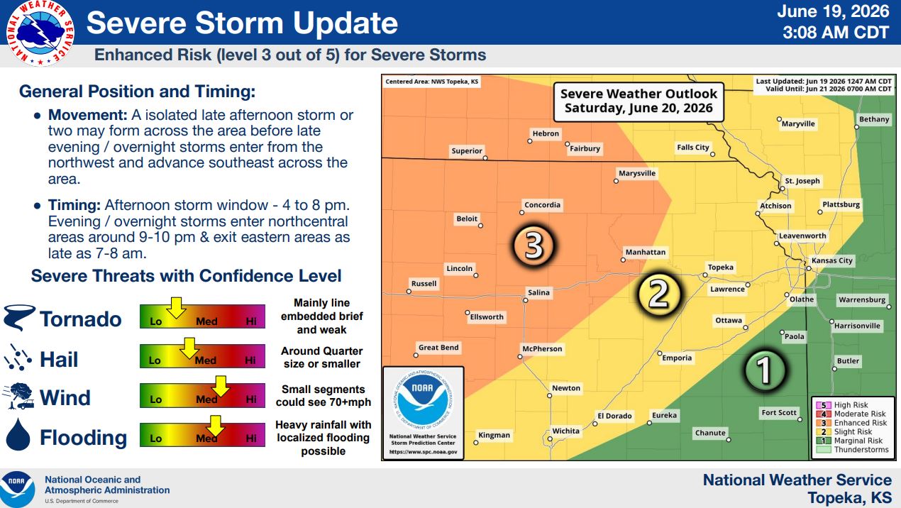
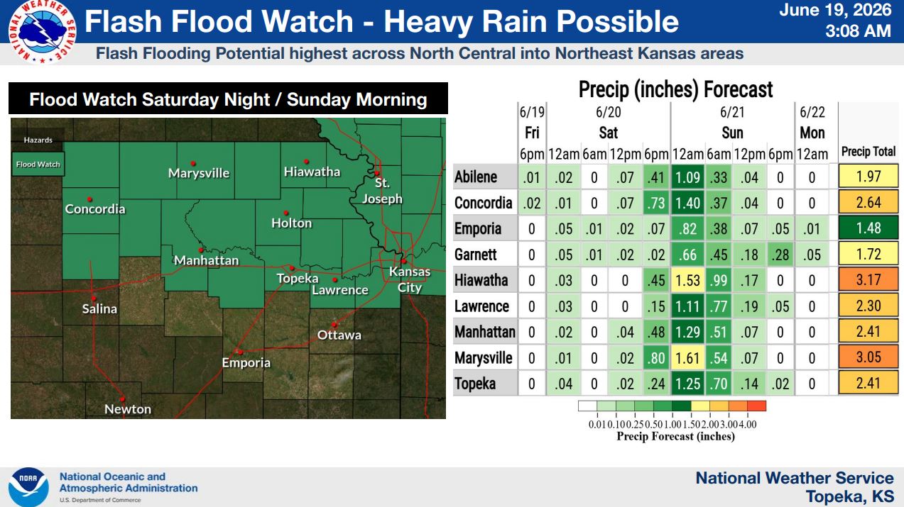
The National Weather Service has upgraded Saturday’s severe weather outlook to an Enhanced Risk (Level 3 of 5) and issued a Flash Flood Watch for much of northeast Kansas. Forecast confidence is increasing, particularly for heavy rainfall.
Forecasters expect the primary threat to arrive late Saturday evening and continue into early Sunday morning. Damaging winds of 70 mph or higher, quarter-sized hail, localized flooding and a low-end tornado threat are all possible.
Isolated storms could develop between 4 and 8 p.m. Saturday, with a larger storm system moving into north-central Kansas around 9 to 10 p.m. and continuing overnight.
The greatest flooding threat is expected across north-central and northeast Kansas. Current forecasts call for around 2.4 inches of rain in Manhattan and Topeka, with some locations receiving more than 3 inches.
Stay tuned to News Radio KMAN for the latest updates.